East Pallant Cottage
Introduction
The photograph on this page of East Pallant Cottage by Keith Edkins as part of the Geograph project.
The Geograph project started in 2005 with the aim of publishing, organising and preserving representative images for every square kilometre of Great Britain, Ireland and the Isle of Man.

There are currently over 7.5m images from over 14,400 individuals and you can help contribute to the project by visiting https://www.geograph.org.uk
East Pallant Cottage
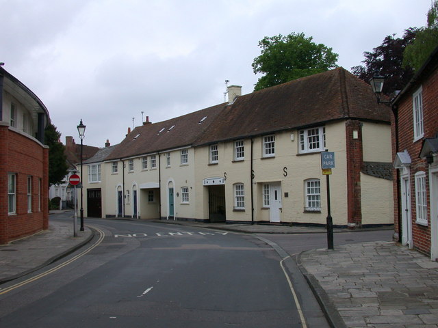
Image: © Keith Edkins Taken: 16 May 2008
- is the nearest one; one of the others is called Coachman's House, so these were perhaps originally coachyards.
Images are licensed for reuse under creativecommons.org/licenses/by-sa/2.0
Image Location
Latitude
50.835325
Longitude
-0.776551