River Wey Navigation near Byfleet
Introduction
The photograph on this page of River Wey Navigation near Byfleet by Nigel Cox as part of the Geograph project.
The Geograph project started in 2005 with the aim of publishing, organising and preserving representative images for every square kilometre of Great Britain, Ireland and the Isle of Man.

There are currently over 7.5m images from over 14,400 individuals and you can help contribute to the project by visiting https://www.geograph.org.uk
River Wey Navigation near Byfleet
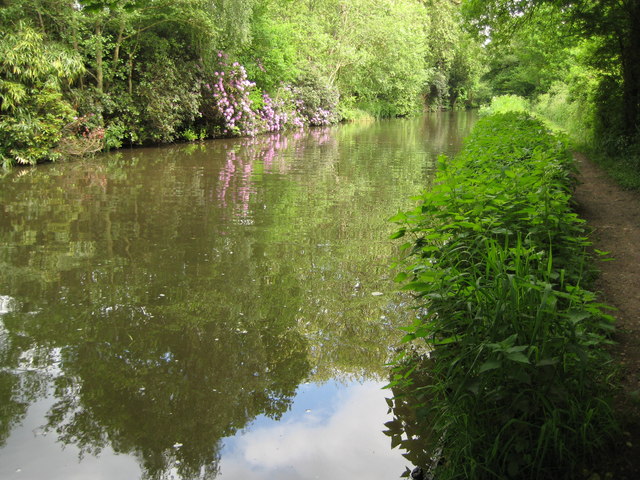
Image: © Nigel Cox Taken: 20 May 2008
Taken from just north of Murray's Bridge, the towpath is on the right and the rhododendrons in bloom on the left are in the grounds of West Hall.
Images are licensed for reuse under creativecommons.org/licenses/by-sa/2.0
Image Location
Latitude
51.333798
Longitude
-0.485565