Looking SE from footpath to the S of Eastry
Introduction
The photograph on this page of Looking SE from footpath to the S of Eastry by Nick Smith as part of the Geograph project.
The Geograph project started in 2005 with the aim of publishing, organising and preserving representative images for every square kilometre of Great Britain, Ireland and the Isle of Man.

There are currently over 7.5m images from over 14,400 individuals and you can help contribute to the project by visiting https://www.geograph.org.uk
Looking SE from footpath to the S of Eastry
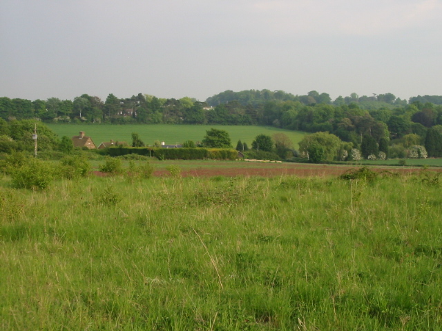
Image: © Nick Smith Taken: 22 May 2008
The houses in the trees on the horizon are part of a small estate of private homes which were once Eastry Children's Home, http://www.geograph.org.uk/photo/303660
Images are licensed for reuse under creativecommons.org/licenses/by-sa/2.0
Image Location
Latitude
51.240766
Longitude
1.30652