Colebrooke Road
Introduction
The photograph on this page of Colebrooke Road by Ian Capper as part of the Geograph project.
The Geograph project started in 2005 with the aim of publishing, organising and preserving representative images for every square kilometre of Great Britain, Ireland and the Isle of Man.

There are currently over 7.5m images from over 14,400 individuals and you can help contribute to the project by visiting https://www.geograph.org.uk
Colebrooke Road
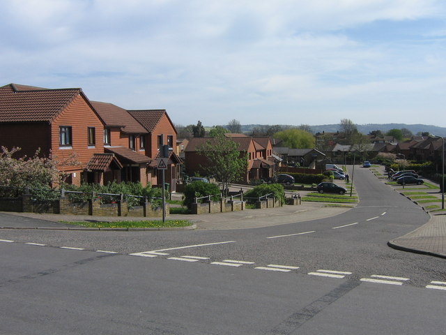
Image: © Ian Capper Taken: 26 Apr 2008
A 1990s development of "affordable housing" off Green Lane in Redhill, replacing an area of 1950s flats and houses. The photo shows the way the road climbs up from an area of lower ground - old maps show a stream running from left to right across this area, which was presumably the Cole Brook. There is no sign of it now, suggesting that it has been culverted.
Images are licensed for reuse under creativecommons.org/licenses/by-sa/2.0
Image Location
Latitude
51.245611
Longitude
-0.178408