Ludgershall - Mission Hall
Introduction
The photograph on this page of Ludgershall - Mission Hall by Chris Talbot as part of the Geograph project.
The Geograph project started in 2005 with the aim of publishing, organising and preserving representative images for every square kilometre of Great Britain, Ireland and the Isle of Man.

There are currently over 7.5m images from over 14,400 individuals and you can help contribute to the project by visiting https://www.geograph.org.uk
Ludgershall - Mission Hall
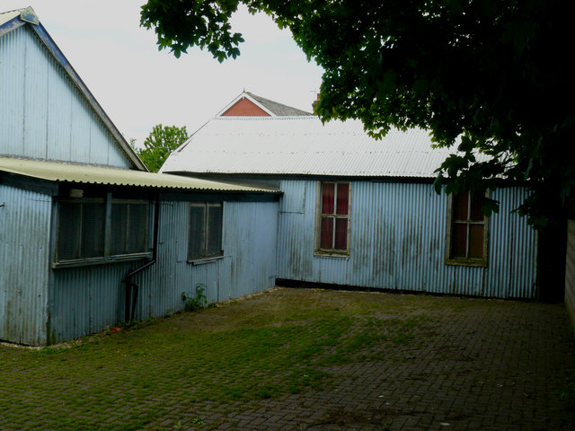
Image: © Chris Talbot Taken: 19 May 2008
During the Second World War the hall was taken over by the Open Air mission and again used as a 'Soldiers' welcome'.
Images are licensed for reuse under creativecommons.org/licenses/by-sa/2.0
Image Location
Latitude
51.253937
Longitude
-1.615929