Lyndhurst Road, Manchester
Introduction
The photograph on this page of Lyndhurst Road, Manchester by Slbs as part of the Geograph project.
The Geograph project started in 2005 with the aim of publishing, organising and preserving representative images for every square kilometre of Great Britain, Ireland and the Isle of Man.

There are currently over 7.5m images from over 14,400 individuals and you can help contribute to the project by visiting https://www.geograph.org.uk
Lyndhurst Road, Manchester
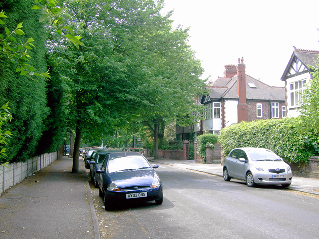
Image: © Slbs Taken: Unknown
The stretch of Lyndhurst Road between Ballbrook Avenue and Lapwing Lane, looking towards the latter.
Images are licensed for reuse under creativecommons.org/licenses/by-sa/2.0
Image Location
Latitude
53.424383
Longitude
-2.234866