Blue plaque, Church Street, Calne
Introduction
The photograph on this page of Blue plaque, Church Street, Calne by Brian Robert Marshall as part of the Geograph project.
The Geograph project started in 2005 with the aim of publishing, organising and preserving representative images for every square kilometre of Great Britain, Ireland and the Isle of Man.

There are currently over 7.5m images from over 14,400 individuals and you can help contribute to the project by visiting https://www.geograph.org.uk
Blue plaque, Church Street, Calne
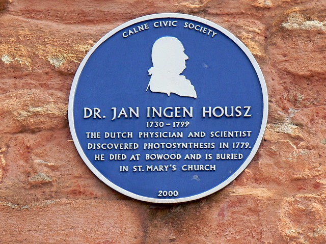
Image: © Brian Robert Marshall Taken: 21 May 2008
The plaque commemorates a Dutchman whose connection with the Wiltshire town is that he is buried nearby.
Images are licensed for reuse under creativecommons.org/licenses/by-sa/2.0
Image Location
Latitude
51.437547
Longitude
-2.003404