Poundbury Hill Fort
Introduction
The photograph on this page of Poundbury Hill Fort by Nigel Mykura as part of the Geograph project.
The Geograph project started in 2005 with the aim of publishing, organising and preserving representative images for every square kilometre of Great Britain, Ireland and the Isle of Man.

There are currently over 7.5m images from over 14,400 individuals and you can help contribute to the project by visiting https://www.geograph.org.uk
Poundbury Hill Fort
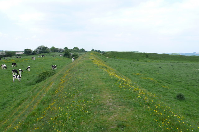
Image: © Nigel Mykura Taken: 20 May 2008
This is the southern ramparts looking west of the rectangular shaped earth-built structure which dates from the middle bronze age c 1500BC. The northern side was badly damaged by the Romans building an aqueduct for Dorchester.
Images are licensed for reuse under creativecommons.org/licenses/by-sa/2.0
Image Location
Latitude
50.718643
Longitude
-2.453521