Sawpit Lane
Introduction
The photograph on this page of Sawpit Lane by Mr Biz as part of the Geograph project.
The Geograph project started in 2005 with the aim of publishing, organising and preserving representative images for every square kilometre of Great Britain, Ireland and the Isle of Man.

There are currently over 7.5m images from over 14,400 individuals and you can help contribute to the project by visiting https://www.geograph.org.uk
Sawpit Lane
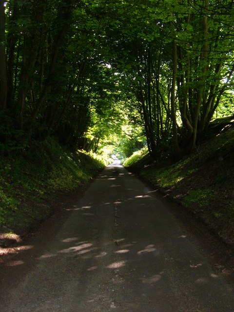
Image: © Mr Biz Taken: 20 May 2008
This picture was taken from the junction with the Great Brickhill - Little Brickhill road. This road heads towards Church Farm and is also known as John Horncapps Lane.
Images are licensed for reuse under creativecommons.org/licenses/by-sa/2.0
Image Location
Latitude
51.972003
Longitude
-0.683971