Very deeply rutted track
Introduction
The photograph on this page of Very deeply rutted track by Mat Fascione as part of the Geograph project.
The Geograph project started in 2005 with the aim of publishing, organising and preserving representative images for every square kilometre of Great Britain, Ireland and the Isle of Man.

There are currently over 7.5m images from over 14,400 individuals and you can help contribute to the project by visiting https://www.geograph.org.uk
Very deeply rutted track
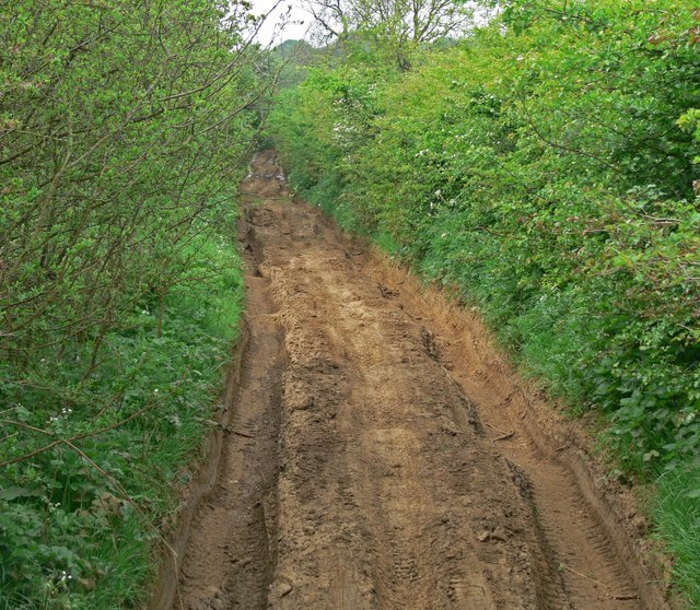
Image: © Mat Fascione Taken: 10 May 2008
Known as The Drift and also The Viking Way, this track is almost completely impassable at this point. It runs along the county boundary of Leicestershire and Lincolnshire.
Images are licensed for reuse under creativecommons.org/licenses/by-sa/2.0
Image Location
Latitude
52.862118
Longitude
-0.728949