Footpath, Whiteleas
Introduction
The photograph on this page of Footpath, Whiteleas by Alan Fearon as part of the Geograph project.
The Geograph project started in 2005 with the aim of publishing, organising and preserving representative images for every square kilometre of Great Britain, Ireland and the Isle of Man.

There are currently over 7.5m images from over 14,400 individuals and you can help contribute to the project by visiting https://www.geograph.org.uk
Footpath, Whiteleas
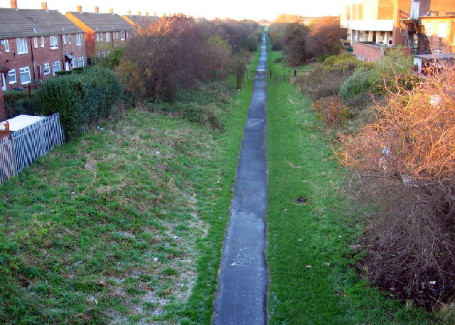
Image: © Alan Fearon Taken: 18 Nov 2005
The former West Harton Mineral Line is now a foot and cycle path, part of 'Bede's Way'. This is the view looking north towards South Shields.
Images are licensed for reuse under creativecommons.org/licenses/by-sa/2.0
Image Location
Latitude
54.963037
Longitude
-1.439285