Dismantled railway line
Introduction
The photograph on this page of Dismantled railway line by Stuart Wilding as part of the Geograph project.
The Geograph project started in 2005 with the aim of publishing, organising and preserving representative images for every square kilometre of Great Britain, Ireland and the Isle of Man.

There are currently over 7.5m images from over 14,400 individuals and you can help contribute to the project by visiting https://www.geograph.org.uk
Dismantled railway line
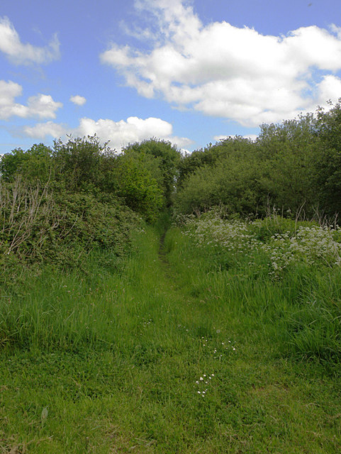
Image: © Stuart Wilding Taken: 18 May 2008
Looking at all the undergrowth, it's hard to believe this was once a railway line. The photograph was taken in the very corner of the grid which is almost all flat farmland.
Images are licensed for reuse under creativecommons.org/licenses/by-sa/2.0
Image Location
Latitude
51.712975
Longitude
-4.287519