St Kenelm's Spring and Church
Introduction
The photograph on this page of St Kenelm's Spring and Church by John M as part of the Geograph project.
The Geograph project started in 2005 with the aim of publishing, organising and preserving representative images for every square kilometre of Great Britain, Ireland and the Isle of Man.

There are currently over 7.5m images from over 14,400 individuals and you can help contribute to the project by visiting https://www.geograph.org.uk
St Kenelm's Spring and Church
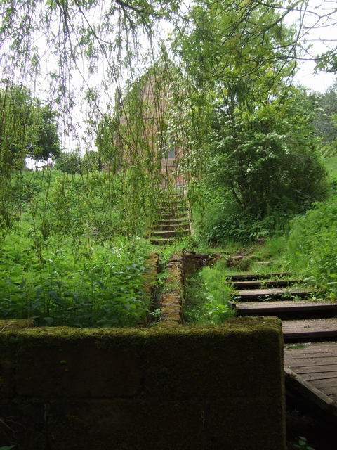
Image: © John M Taken: 18 May 2008
The source of the River Stour is immediately below the church on the Clent Hills.
Images are licensed for reuse under creativecommons.org/licenses/by-sa/2.0
Image Location
Latitude
52.424528
Longitude
-2.083043