Waterfall on the Upper Clydach river
Introduction
The photograph on this page of Waterfall on the Upper Clydach river by Nigel Davies as part of the Geograph project.
The Geograph project started in 2005 with the aim of publishing, organising and preserving representative images for every square kilometre of Great Britain, Ireland and the Isle of Man.

There are currently over 7.5m images from over 14,400 individuals and you can help contribute to the project by visiting https://www.geograph.org.uk
Waterfall on the Upper Clydach river
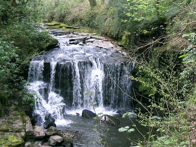
Image: © Nigel Davies Taken: 26 Apr 2008
This waterfall is both the largest and the furthest upstream on the maintained path in the Cwm Du Glen reserve.
Images are licensed for reuse under creativecommons.org/licenses/by-sa/2.0
Image Location
Latitude
51.726226
Longitude
-3.86334