Walnuts Road
Introduction
The photograph on this page of Walnuts Road by Ian Capper as part of the Geograph project.
The Geograph project started in 2005 with the aim of publishing, organising and preserving representative images for every square kilometre of Great Britain, Ireland and the Isle of Man.

There are currently over 7.5m images from over 14,400 individuals and you can help contribute to the project by visiting https://www.geograph.org.uk
Walnuts Road
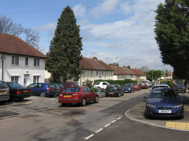
Image: © Ian Capper Taken: 24 Apr 2008
Part of a small high density pre-war estate above Orpington High Street. Walnuts Road is named after the house that used to stand nearby, after which are also named the nearby shopping centre Image and leisure centre (Image).
Images are licensed for reuse under creativecommons.org/licenses/by-sa/2.0
Image Location


Leaflet Map data © OpenStreetMap
Latitude
51.375367
Longitude
0.103439