Demolition in Orchard Grove
Introduction
The photograph on this page of Demolition in Orchard Grove by Ian Capper as part of the Geograph project.
The Geograph project started in 2005 with the aim of publishing, organising and preserving representative images for every square kilometre of Great Britain, Ireland and the Isle of Man.

There are currently over 7.5m images from over 14,400 individuals and you can help contribute to the project by visiting https://www.geograph.org.uk
Demolition in Orchard Grove
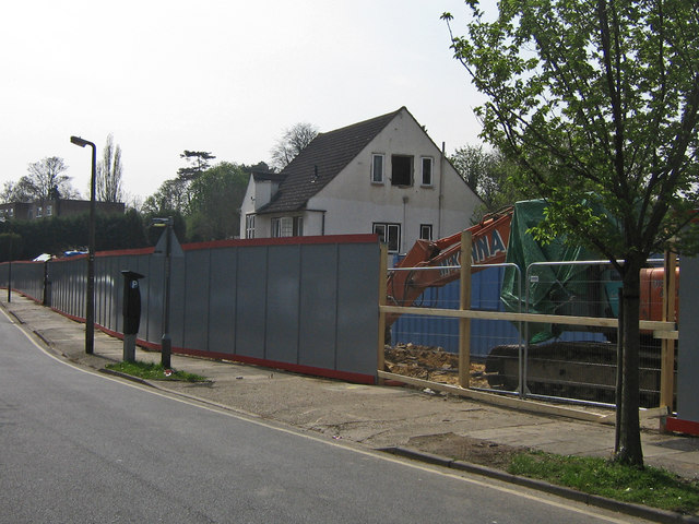
Image: © Ian Capper Taken: 22 Apr 2008
The western side of Orchard Grove was until recently a line of very respectable detached houses. These are now all being demolished, to be replaced by a major development of flats. Combined with the development of a new Tesco's on the other side of the road, the character of the road will change dramatically.
Images are licensed for reuse under creativecommons.org/licenses/by-sa/2.0
Image Location


Leaflet Map data © OpenStreetMap
Latitude
51.374313
Longitude
0.096005