Bridle Path from County End
Introduction
The photograph on this page of Bridle Path from County End by Roger May as part of the Geograph project.
The Geograph project started in 2005 with the aim of publishing, organising and preserving representative images for every square kilometre of Great Britain, Ireland and the Isle of Man.

There are currently over 7.5m images from over 14,400 individuals and you can help contribute to the project by visiting https://www.geograph.org.uk
Bridle Path from County End
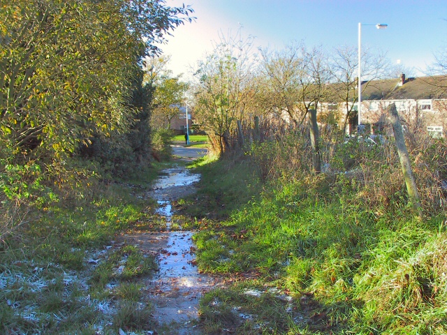
Image: © Roger May Taken: 18 Nov 2005
This pathway meanders around and about for a while, but eventually emerges by the entrance to Oldham Golf Club on Lees New Road. Lunchtime, and the overnight ice formed on the path was just starting to melt, making the going treacherous.
Images are licensed for reuse under creativecommons.org/licenses/by-sa/2.0
Image Location
Latitude
53.529939
Longitude
-2.069356