Castle Lane, Chandler's Ford
Introduction
The photograph on this page of Castle Lane, Chandler's Ford by Peter Facey as part of the Geograph project.
The Geograph project started in 2005 with the aim of publishing, organising and preserving representative images for every square kilometre of Great Britain, Ireland and the Isle of Man.

There are currently over 7.5m images from over 14,400 individuals and you can help contribute to the project by visiting https://www.geograph.org.uk
Castle Lane, Chandler's Ford
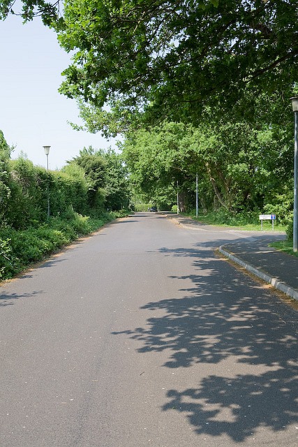
Image: © Peter Facey Taken: 14 May 2008
This long straight lane is partly a busy secondary road from Eastleigh to North Baddesley. But here it is a quiet residential cul de sac and cycleway. Turning at right is Pennard Way.
Images are licensed for reuse under creativecommons.org/licenses/by-sa/2.0
Image Location
Latitude
50.974911
Longitude
-1.401879