Double line of pylons near woodland named The Rough
Introduction
The photograph on this page of Double line of pylons near woodland named The Rough by Peter Facey as part of the Geograph project.
The Geograph project started in 2005 with the aim of publishing, organising and preserving representative images for every square kilometre of Great Britain, Ireland and the Isle of Man.

There are currently over 7.5m images from over 14,400 individuals and you can help contribute to the project by visiting https://www.geograph.org.uk
Double line of pylons near woodland named The Rough
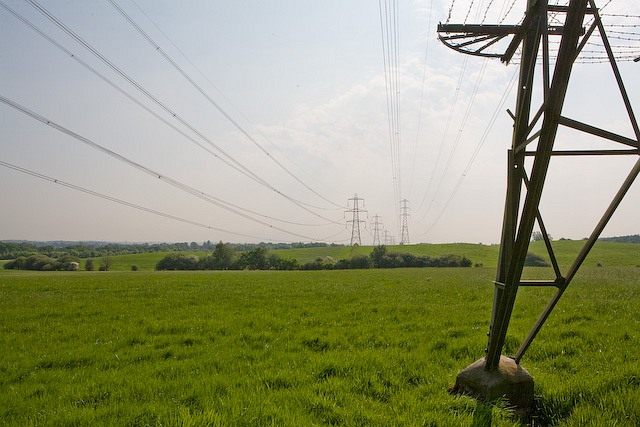
Image: © Peter Facey Taken: 14 May 2008
The lefthand line is part of the supergrid carrying power at 400 KV between Nursling and Lovedean substations. The righthand line carries power at 132 KV from Nursling substation to Velmore substation which supplies Chandler's Ford.
Images are licensed for reuse under creativecommons.org/licenses/by-sa/2.0
Image Location
Latitude
50.970964
Longitude
-1.403639