Churscombe Windmill, Windmill Lane
Introduction
The photograph on this page of Churscombe Windmill, Windmill Lane by Crispin Purdye as part of the Geograph project.
The Geograph project started in 2005 with the aim of publishing, organising and preserving representative images for every square kilometre of Great Britain, Ireland and the Isle of Man.

There are currently over 7.5m images from over 14,400 individuals and you can help contribute to the project by visiting https://www.geograph.org.uk
Churscombe Windmill, Windmill Lane
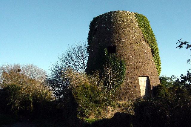
Image: © Crispin Purdye Taken: 17 Nov 2005
Former windmill now surrounded by residential development. One of the highest points in Torbay
Images are licensed for reuse under creativecommons.org/licenses/by-sa/2.0
Image Location


Leaflet Map data © OpenStreetMap
Latitude
50.448822
Longitude
-3.585906