Cottages in a cul-de-sac at Capel Mawr
Introduction
The photograph on this page of Cottages in a cul-de-sac at Capel Mawr by Eric Jones as part of the Geograph project.
The Geograph project started in 2005 with the aim of publishing, organising and preserving representative images for every square kilometre of Great Britain, Ireland and the Isle of Man.

There are currently over 7.5m images from over 14,400 individuals and you can help contribute to the project by visiting https://www.geograph.org.uk
Cottages in a cul-de-sac at Capel Mawr
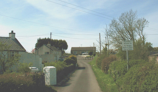
Image: © Eric Jones Taken: 2 May 2008
Their names are listed on the road sign. Ty Rodyn means (lime) kiln house and the "felin" element in the other two names refer to the ruined mill sited in the field behind.
Images are licensed for reuse under creativecommons.org/licenses/by-sa/2.0
Image Location


Leaflet Map data © OpenStreetMap
Latitude
53.219166
Longitude
-4.376297