Lancaster Reach, Heathfield
Introduction
The photograph on this page of Lancaster Reach, Heathfield by Keith Edkins as part of the Geograph project.
The Geograph project started in 2005 with the aim of publishing, organising and preserving representative images for every square kilometre of Great Britain, Ireland and the Isle of Man.

There are currently over 7.5m images from over 14,400 individuals and you can help contribute to the project by visiting https://www.geograph.org.uk
Lancaster Reach, Heathfield
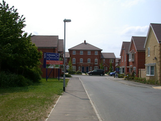
Image: © Keith Edkins Taken: 14 May 2008
New housing, evidently taking its name from the WWII bomber (see the propellers on the sign) - although I don't believe they ever flew from Duxford, which was a fighter station.
Images are licensed for reuse under creativecommons.org/licenses/by-sa/2.0
Image Location
Latitude
52.092954
Longitude
0.122327