The Aln Estuary
Introduction
The photograph on this page of The Aln Estuary by Alan Walker as part of the Geograph project.
The Geograph project started in 2005 with the aim of publishing, organising and preserving representative images for every square kilometre of Great Britain, Ireland and the Isle of Man.

There are currently over 7.5m images from over 14,400 individuals and you can help contribute to the project by visiting https://www.geograph.org.uk
The Aln Estuary
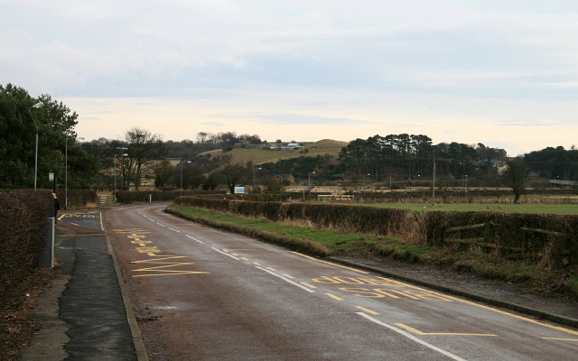
Image: © Alan Walker Taken: 2 Feb 2008
Image : last – (image 1 of 8 ) – next : Image (A short walk along the B1338 between Hipsburn and Alnmouth) The B1338 near Hipsburn First School: http://www.hipsburn.northumberland.sch.uk/
Images are licensed for reuse under creativecommons.org/licenses/by-sa/2.0
Image Location


Leaflet Map data © OpenStreetMap
Latitude
55.392923
Longitude
-1.625664