Houses on the Carboniferous Limestone scarp
Introduction
The photograph on this page of Houses on the Carboniferous Limestone scarp by Eric Jones as part of the Geograph project.
The Geograph project started in 2005 with the aim of publishing, organising and preserving representative images for every square kilometre of Great Britain, Ireland and the Isle of Man.

There are currently over 7.5m images from over 14,400 individuals and you can help contribute to the project by visiting https://www.geograph.org.uk
Houses on the Carboniferous Limestone scarp
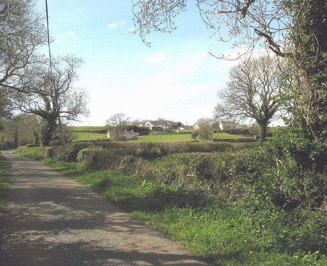
Image: © Eric Jones Taken: 2 May 2008
This scarp, much rockier further west, is the eastern boundary of a narrow belt of Carboniferous Limestone which borders on the Coal Measures of the Malltraeth Marsh.
Images are licensed for reuse under creativecommons.org/licenses/by-sa/2.0
Image Location


Leaflet Map data © OpenStreetMap
Latitude
53.228382
Longitude
-4.351337