Charminster old Dorchester road.
Introduction
The photograph on this page of Charminster old Dorchester road. by Nigel Mykura as part of the Geograph project.
The Geograph project started in 2005 with the aim of publishing, organising and preserving representative images for every square kilometre of Great Britain, Ireland and the Isle of Man.

There are currently over 7.5m images from over 14,400 individuals and you can help contribute to the project by visiting https://www.geograph.org.uk
Charminster old Dorchester road.
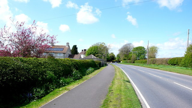
Image: © Nigel Mykura Taken: 2 May 2008
This used to be the main road from Charminster to Dorchester when the main roads kept to higher ground to avoid marshy land on the flood plain of the River Frome. A new road was built centuries ago on a raised causeway across the meadows and it became the A37 running south of the village. This is now the C12 to Sherborne, straight , fast and notorious for road deaths.
Images are licensed for reuse under creativecommons.org/licenses/by-sa/2.0
Image Location


Leaflet Map data © OpenStreetMap
Latitude
50.72847
Longitude
-2.44724