Street United Reformed Church
Introduction
The photograph on this page of Street United Reformed Church by Graham Horn as part of the Geograph project.
The Geograph project started in 2005 with the aim of publishing, organising and preserving representative images for every square kilometre of Great Britain, Ireland and the Isle of Man.

There are currently over 7.5m images from over 14,400 individuals and you can help contribute to the project by visiting https://www.geograph.org.uk
Street United Reformed Church
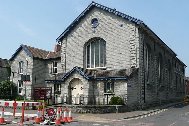
Image: © Graham Horn Taken: 11 May 2008
At one end of the High Street, this is an imposing building even though it is in the same colour stone as much of the rest of the village.
Images are licensed for reuse under creativecommons.org/licenses/by-sa/2.0
Image Location
Latitude
51.125508
Longitude
-2.742858