Tovey Road, Pinehurst, Swindon
Introduction
The photograph on this page of Tovey Road, Pinehurst, Swindon by Brian Robert Marshall as part of the Geograph project.
The Geograph project started in 2005 with the aim of publishing, organising and preserving representative images for every square kilometre of Great Britain, Ireland and the Isle of Man.

There are currently over 7.5m images from over 14,400 individuals and you can help contribute to the project by visiting https://www.geograph.org.uk
Tovey Road, Pinehurst, Swindon
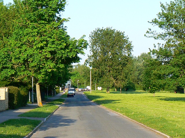
Image: © Brian Robert Marshall Taken: 13 May 2008
This is a view facing east. Tovey Road marks the southern extent of the post-war local authority-built housing estate. To the south, on the other side of the water course seen on the map, is a pre-war area of private housing.
Images are licensed for reuse under creativecommons.org/licenses/by-sa/2.0
Image Location
Latitude
51.577271
Longitude
-1.79244