Landscape from the Aghnamoira Road
Introduction
The photograph on this page of Landscape from the Aghnamoira Road by P Flannagan as part of the Geograph project.
The Geograph project started in 2005 with the aim of publishing, organising and preserving representative images for every square kilometre of Great Britain, Ireland and the Isle of Man.

There are currently over 7.5m images from over 14,400 individuals and you can help contribute to the project by visiting https://www.geograph.org.uk
Landscape from the Aghnamoira Road
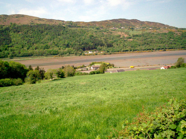
Image: © P Flannagan Taken: 13 May 2008
Shows the mud flats at low tide on Carlingford Lough.
Images are licensed for reuse under creativecommons.org/licenses/by-sa/2.0
Image Location
Latitude
54.13029
Longitude
-6.298744