Bolton's Pit
Introduction
The photograph on this page of Bolton's Pit by Francis Hookham as part of the Geograph project.
The Geograph project started in 2005 with the aim of publishing, organising and preserving representative images for every square kilometre of Great Britain, Ireland and the Isle of Man.

There are currently over 7.5m images from over 14,400 individuals and you can help contribute to the project by visiting https://www.geograph.org.uk
Bolton's Pit
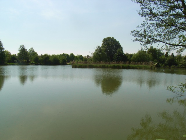
Image: © Francis Hookham Taken: 10 May 2008
Bolton's Pit on the south side of Barton Road was first quarried for clay for local brickworks, approached from Grantchester Road during late Victorian era and then during 1900s coprolites were extracted for fertilizers and explosives until it was used as a rubbish tip during and after WW1 when it then filled with water from Binn Brook and became naturalised. Many of the houses around were built in the 1920s and 1930s by local Walter Boyton using the typical Cambridge yellowish brick.
Images are licensed for reuse under creativecommons.org/licenses/by-sa/2.0
Image Location
Latitude
52.197416
Longitude
0.09862