Sheffield and Don Navigation, Rotherham Cut
Introduction
The photograph on this page of Sheffield and Don Navigation, Rotherham Cut by Alan Murray-Rust as part of the Geograph project.
The Geograph project started in 2005 with the aim of publishing, organising and preserving representative images for every square kilometre of Great Britain, Ireland and the Isle of Man.

There are currently over 7.5m images from over 14,400 individuals and you can help contribute to the project by visiting https://www.geograph.org.uk
Sheffield and Don Navigation, Rotherham Cut
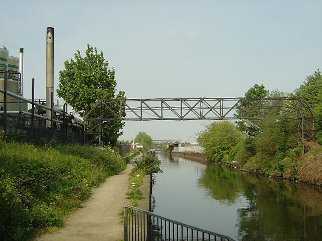
Image: © Alan Murray-Rust Taken: 11 May 2008
The oil firm on the left gained an award in 2005 for the development of facilities of water-borne transport of oil products, but there is little evidence of any traffic.
Images are licensed for reuse under creativecommons.org/licenses/by-sa/2.0
Image Location
Latitude
53.436635
Longitude
-1.356455