River Rother and flour mills
Introduction
The photograph on this page of River Rother and flour mills by Alan Murray-Rust as part of the Geograph project.
The Geograph project started in 2005 with the aim of publishing, organising and preserving representative images for every square kilometre of Great Britain, Ireland and the Isle of Man.

There are currently over 7.5m images from over 14,400 individuals and you can help contribute to the project by visiting https://www.geograph.org.uk
River Rother and flour mills
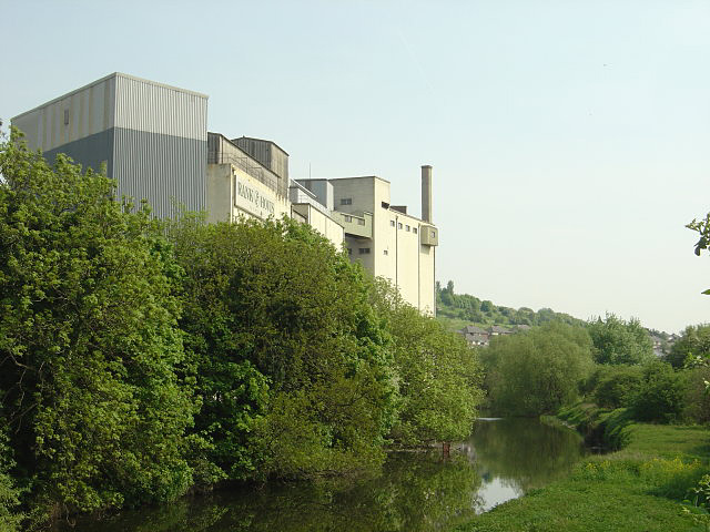
Image: © Alan Murray-Rust Taken: 11 May 2008
The Rother has now only a few tens of metres to go before joining the Don. The flour mill clearly stands on the site of a historic water mill but there are now no signs of any weir that one would have expected to accompany it.
Images are licensed for reuse under creativecommons.org/licenses/by-sa/2.0
Image Location
Latitude
53.424256
Longitude
-1.361156