Canklow Bridge
Introduction
The photograph on this page of Canklow Bridge by Alan Murray-Rust as part of the Geograph project.
The Geograph project started in 2005 with the aim of publishing, organising and preserving representative images for every square kilometre of Great Britain, Ireland and the Isle of Man.

There are currently over 7.5m images from over 14,400 individuals and you can help contribute to the project by visiting https://www.geograph.org.uk
Canklow Bridge
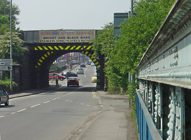
Image: © Alan Murray-Rust Taken: 11 May 2008
The title refers to the road bridge over the Rother, one girder of which forms the right hand side of the picture. The arch under the railway represents the boundary between Canklow and Brinsworth, a sign for which can be seen at the top of the bridge itself. The other side of the bridge is hown in Image
Images are licensed for reuse under creativecommons.org/licenses/by-sa/2.0
Image Location
Latitude
53.409258
Longitude
-1.363788