Footpath junction in Canklow Wood
Introduction
The photograph on this page of Footpath junction in Canklow Wood by Alan Murray-Rust as part of the Geograph project.
The Geograph project started in 2005 with the aim of publishing, organising and preserving representative images for every square kilometre of Great Britain, Ireland and the Isle of Man.

There are currently over 7.5m images from over 14,400 individuals and you can help contribute to the project by visiting https://www.geograph.org.uk
Footpath junction in Canklow Wood
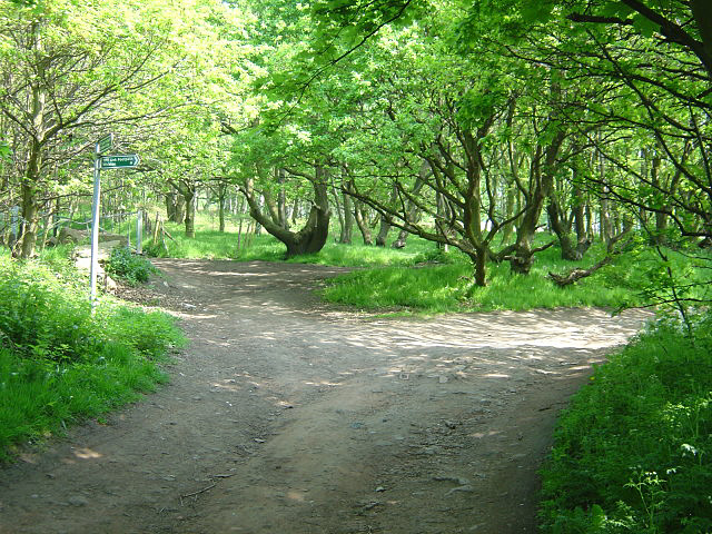
Image: © Alan Murray-Rust Taken: 11 May 2008
The main path curving to the right is part of the Trans Pennine Trail. The wood is now owned by Rotherham Metropolitan Borough which has improved access since purchase was made in 2000.
Images are licensed for reuse under creativecommons.org/licenses/by-sa/2.0
Image Location
Latitude
53.409235
Longitude
-1.359426