Don and Rother Valley panorama ( part 2)
Introduction
The photograph on this page of Don and Rother Valley panorama ( part 2) by Alan Murray-Rust as part of the Geograph project.
The Geograph project started in 2005 with the aim of publishing, organising and preserving representative images for every square kilometre of Great Britain, Ireland and the Isle of Man.

There are currently over 7.5m images from over 14,400 individuals and you can help contribute to the project by visiting https://www.geograph.org.uk
Don and Rother Valley panorama ( part 2)
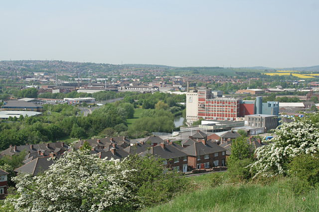
Image: © Alan Murray-Rust Taken: 11 May 2008
This section of the panorama looking North West covers the confluence of the two rivers, which happens just behind the flour mills. The Rother can be seen clearly alongside the mill; the line of the Don is marked by the slightly more distant line of trees. Beyond these to the left of the picture, Millmoor Stadium can just be made out. This is one of seven pictures used to create the panorama picture Image
Images are licensed for reuse under creativecommons.org/licenses/by-sa/2.0
Image Location


Leaflet Map data © OpenStreetMap
Latitude
53.422462
Longitude
-1.361936