Horse grazing near Holyport
Introduction
The photograph on this page of Horse grazing near Holyport by Andrew Smith as part of the Geograph project.
The Geograph project started in 2005 with the aim of publishing, organising and preserving representative images for every square kilometre of Great Britain, Ireland and the Isle of Man.

There are currently over 7.5m images from over 14,400 individuals and you can help contribute to the project by visiting https://www.geograph.org.uk
Horse grazing near Holyport
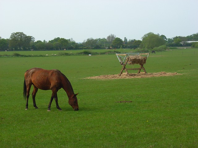
Image: © Andrew Smith Taken: 5 May 2008
Fields to the south of Gadbridge Farm. The Bourne runs along the far side of this field.
Images are licensed for reuse under creativecommons.org/licenses/by-sa/2.0
Image Location
Latitude
51.477815
Longitude
-0.724162