The Black Diamond
Introduction
The photograph on this page of The Black Diamond by michael ely as part of the Geograph project.
The Geograph project started in 2005 with the aim of publishing, organising and preserving representative images for every square kilometre of Great Britain, Ireland and the Isle of Man.

There are currently over 7.5m images from over 14,400 individuals and you can help contribute to the project by visiting https://www.geograph.org.uk
The Black Diamond
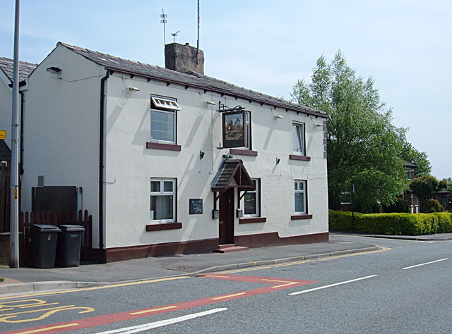
Image: © michael ely Taken: 12 May 2008
This pub is named after the coal mining heritage of Bardsley. It is situated on Ashton Road at the top of Bardsley Brew.
Images are licensed for reuse under creativecommons.org/licenses/by-sa/2.0
Image Location
Latitude
53.512114
Longitude
-2.107025