Houses in Victoria Road, Canterbury
Introduction
The photograph on this page of Houses in Victoria Road, Canterbury by Elliott Simpson as part of the Geograph project.
The Geograph project started in 2005 with the aim of publishing, organising and preserving representative images for every square kilometre of Great Britain, Ireland and the Isle of Man.

There are currently over 7.5m images from over 14,400 individuals and you can help contribute to the project by visiting https://www.geograph.org.uk
Houses in Victoria Road, Canterbury
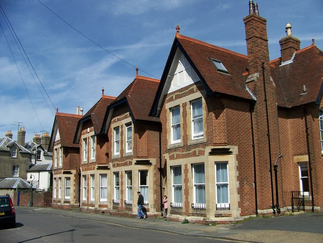
Image: © Elliott Simpson Taken: 26 Apr 2008
These houses have arched doorways which suggests they have some history behind them. At present they are one of the L’Arche Communities Care Homes.
Images are licensed for reuse under creativecommons.org/licenses/by-sa/2.0
Image Location
Latitude
51.272555
Longitude
1.070907