Aerial activities near Upper Welland
Introduction
The photograph on this page of Aerial activities near Upper Welland by Bob Embleton as part of the Geograph project.
The Geograph project started in 2005 with the aim of publishing, organising and preserving representative images for every square kilometre of Great Britain, Ireland and the Isle of Man.

There are currently over 7.5m images from over 14,400 individuals and you can help contribute to the project by visiting https://www.geograph.org.uk
Aerial activities near Upper Welland
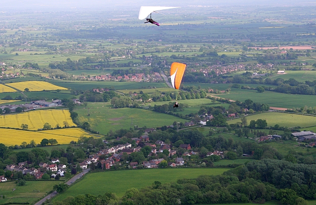
Image: © Bob Embleton Taken: 11 May 2008
Looking down from Black Hill on to Upper Welland. A fast moving hang glider flies above a slower paraglider and both are returning to Pinnacle Hill.
Images are licensed for reuse under creativecommons.org/licenses/by-sa/2.0
Image Location


Leaflet Map data © OpenStreetMap
Latitude
52.065215
Longitude
-2.324814