Ruins of stable block
Introduction
The photograph on this page of Ruins of stable block by Richard Sutcliffe as part of the Geograph project.
The Geograph project started in 2005 with the aim of publishing, organising and preserving representative images for every square kilometre of Great Britain, Ireland and the Isle of Man.

There are currently over 7.5m images from over 14,400 individuals and you can help contribute to the project by visiting https://www.geograph.org.uk
Ruins of stable block
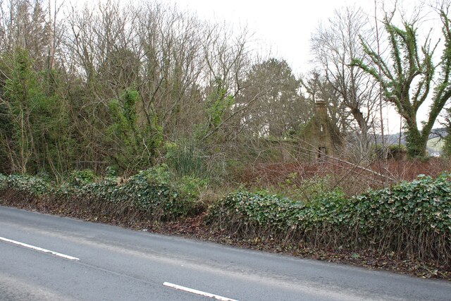
NEW Image: © Richard Sutcliffe Taken: 22 Feb 2025
Little remains but the overgrown walls of the Category B listed https://portal.historicenvironment.scot/apex/f?p=1505:300:::::VIEWTYPE,VIEWREF:designation,LB19503 stable block of Ardenvohr, which dates from 1858. Work was undertaken in the 1990s to convert the building to residential accommodation, but a fire in 1999 destroyed the roof and it has deteriorated since then. It is in the Buildings At Risk Register https://www.buildingsatrisk.org.uk/details/896346.
Images are licensed for reuse under creativecommons.org/licenses/by-sa/2.0
Image Location


Leaflet Map data © OpenStreetMap
Latitude
56.018879
Longitude
-4.784026