Crackpot: view down Swaledale
Introduction
The photograph on this page of Crackpot: view down Swaledale by Chris Downer as part of the Geograph project.
The Geograph project started in 2005 with the aim of publishing, organising and preserving representative images for every square kilometre of Great Britain, Ireland and the Isle of Man.

There are currently over 7.5m images from over 14,400 individuals and you can help contribute to the project by visiting https://www.geograph.org.uk
Crackpot: view down Swaledale
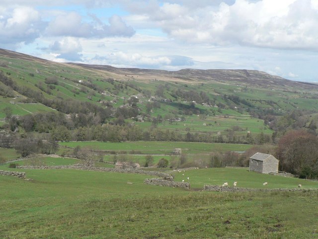
Image: © Chris Downer Taken: 1 May 2008
The hamlet of Crackpot occupies a magnificent position on the slopes of Swaledale, offering fine views down the valley.
Images are licensed for reuse under creativecommons.org/licenses/by-sa/2.0
Image Location
Latitude
54.367069
Longitude
-2.041368