Railway under railway
Introduction
The photograph on this page of Railway under railway by Penny Mayes as part of the Geograph project.
The Geograph project started in 2005 with the aim of publishing, organising and preserving representative images for every square kilometre of Great Britain, Ireland and the Isle of Man.

There are currently over 7.5m images from over 14,400 individuals and you can help contribute to the project by visiting https://www.geograph.org.uk
Railway under railway
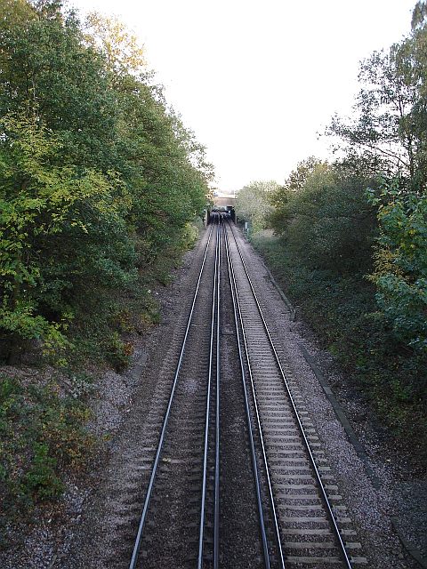
Image: © Penny Mayes Taken: 14 Nov 2005
The Maidstone - Ashford line goes underneath both the M20 motorway (first bridge) and High Speed Rail Link (second bridge) just west of the Crismill Road bridge.
Images are licensed for reuse under creativecommons.org/licenses/by-sa/2.0
Image Location
Latitude
51.268785
Longitude
0.603251