Track to Southcombe Farm
Introduction
The photograph on this page of Track to Southcombe Farm by Derek Harper as part of the Geograph project.
The Geograph project started in 2005 with the aim of publishing, organising and preserving representative images for every square kilometre of Great Britain, Ireland and the Isle of Man.

There are currently over 7.5m images from over 14,400 individuals and you can help contribute to the project by visiting https://www.geograph.org.uk
Track to Southcombe Farm
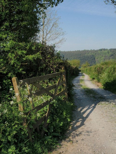
Image: © Derek Harper Taken: 8 May 2008
The track to the farm visible in Image leaves the lane between Horsebridge and Milton Abbot past this gate. Gunoak Wood, beyond the Tamar, is in the distance. Taken from very close to the same spot as Image
Images are licensed for reuse under creativecommons.org/licenses/by-sa/2.0
Image Location


Leaflet Map data © OpenStreetMap
Latitude
50.568831
Longitude
-4.263828