Cables and rape
Introduction
The photograph on this page of Cables and rape by Paul Harrop as part of the Geograph project.
The Geograph project started in 2005 with the aim of publishing, organising and preserving representative images for every square kilometre of Great Britain, Ireland and the Isle of Man.

There are currently over 7.5m images from over 14,400 individuals and you can help contribute to the project by visiting https://www.geograph.org.uk
Cables and rape
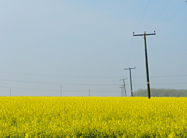
Image: © Paul Harrop Taken: 11 May 2008
Seen from the High Hunsley Circuit route between Lings Farm and Burton Rakes Farm
Images are licensed for reuse under creativecommons.org/licenses/by-sa/2.0
Image Location
Latitude
53.842941
Longitude
-0.547136