Northgate playing fields
Introduction
The photograph on this page of Northgate playing fields by Chris Plunkett as part of the Geograph project.
The Geograph project started in 2005 with the aim of publishing, organising and preserving representative images for every square kilometre of Great Britain, Ireland and the Isle of Man.

There are currently over 7.5m images from over 14,400 individuals and you can help contribute to the project by visiting https://www.geograph.org.uk
Northgate playing fields
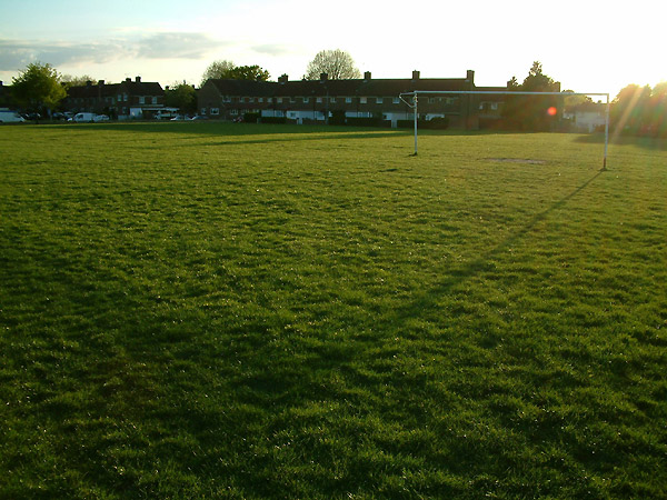
Image: © Chris Plunkett Taken: 5 Jun 2001
A view facing roughly east across the playing fields between Northgate Avenue and Woodfield Road, in Crawley, West Sussex.
Images are licensed for reuse under creativecommons.org/licenses/by-sa/2.0
Image Location


Leaflet Map data © OpenStreetMap
Latitude
51.122627
Longitude
-0.180964