Boothbank Farm
Introduction
The photograph on this page of Boothbank Farm by Roger May as part of the Geograph project.
The Geograph project started in 2005 with the aim of publishing, organising and preserving representative images for every square kilometre of Great Britain, Ireland and the Isle of Man.

There are currently over 7.5m images from over 14,400 individuals and you can help contribute to the project by visiting https://www.geograph.org.uk
Boothbank Farm
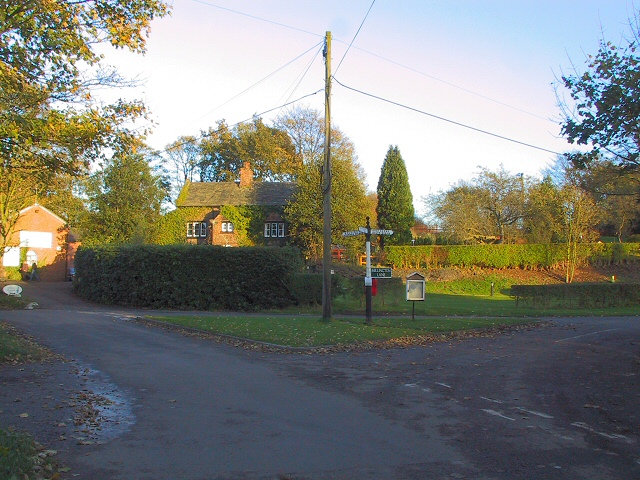
Image: © Roger May Taken: 15 Nov 2005
At the meeting of Reddy Lane, Millington Lane and Boothbank Lane, stands Boothbank Farm. Around 1747 John Wesley used to stay here and preach to the local community at the methodist chapel (see supplemental image). The chapel is long gone, and the M56 motorway now thunders over the spot where it used to stand.
Images are licensed for reuse under creativecommons.org/licenses/by-sa/2.0
Image Location
Latitude
53.362046
Longitude
-2.416193