Harper Hill
Introduction
The photograph on this page of Harper Hill by Anne Burgess as part of the Geograph project.
The Geograph project started in 2005 with the aim of publishing, organising and preserving representative images for every square kilometre of Great Britain, Ireland and the Isle of Man.

There are currently over 7.5m images from over 14,400 individuals and you can help contribute to the project by visiting https://www.geograph.org.uk
Harper Hill
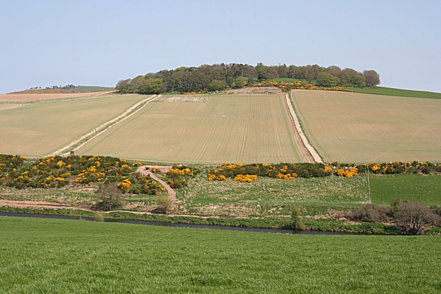
Image: © Anne Burgess Taken: 9 May 2008
It's easy to see the field boundaries here, and the cap of woodland on top of Harper Hill, and to relate them to the details on the 1:25,000 map. The stub of road must lead more or less to where the ancient St John's Well lies.
Images are licensed for reuse under creativecommons.org/licenses/by-sa/2.0
Image Location
Latitude
57.518631
Longitude
-2.627181