Goodiers Green Farm
Introduction
The photograph on this page of Goodiers Green Farm by Roger May as part of the Geograph project.
The Geograph project started in 2005 with the aim of publishing, organising and preserving representative images for every square kilometre of Great Britain, Ireland and the Isle of Man.

There are currently over 7.5m images from over 14,400 individuals and you can help contribute to the project by visiting https://www.geograph.org.uk
Goodiers Green Farm
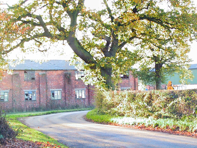
Image: © Roger May Taken: 15 Nov 2005
This dilapidated building seems to have been a target for vandals on numerous occasions, judging from the number of broken windows it displays.
Images are licensed for reuse under creativecommons.org/licenses/by-sa/2.0
Image Location
Latitude
53.335916
Longitude
-2.433959