Woods at Mere
Introduction
The photograph on this page of Woods at Mere by Roger May as part of the Geograph project.
The Geograph project started in 2005 with the aim of publishing, organising and preserving representative images for every square kilometre of Great Britain, Ireland and the Isle of Man.

There are currently over 7.5m images from over 14,400 individuals and you can help contribute to the project by visiting https://www.geograph.org.uk
Woods at Mere
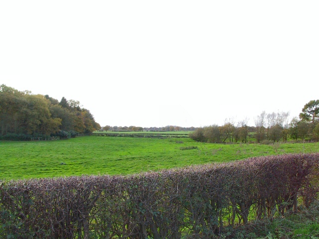
Image: © Roger May Taken: 15 Nov 2005
Halfway between Mere and Hoo Green on the A50 is a layby, from which this shot to the southwest shows a corner of the woods behind Mere Hall.
Images are licensed for reuse under creativecommons.org/licenses/by-sa/2.0
Image Location


Leaflet Map data © OpenStreetMap
Latitude
53.336863
Longitude
-2.420453