Student accommodation in Newcastle-under-Lyme
Introduction
The photograph on this page of Student accommodation in Newcastle-under-Lyme by Jonathan Hutchins as part of the Geograph project.
The Geograph project started in 2005 with the aim of publishing, organising and preserving representative images for every square kilometre of Great Britain, Ireland and the Isle of Man.

There are currently over 7.5m images from over 14,400 individuals and you can help contribute to the project by visiting https://www.geograph.org.uk
Student accommodation in Newcastle-under-Lyme
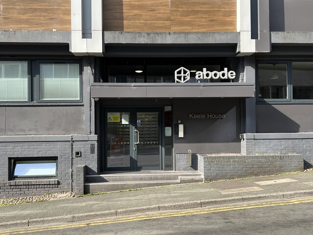
Image: © Jonathan Hutchins Taken: 27 Jul 2024
Compare with a view from March 2017 https://www.geograph.org.uk/photo/5336405 and from when it was a derelict office building in 2015 https://www.geograph.org.uk/photo/4339128
Images are licensed for reuse under creativecommons.org/licenses/by-sa/2.0
Image Location


Leaflet Map data © OpenStreetMap
Latitude
53.009831
Longitude
-2.227689