Peel Moat
Introduction
The photograph on this page of Peel Moat by Stephen McKay as part of the Geograph project.
The Geograph project started in 2005 with the aim of publishing, organising and preserving representative images for every square kilometre of Great Britain, Ireland and the Isle of Man.

There are currently over 7.5m images from over 14,400 individuals and you can help contribute to the project by visiting https://www.geograph.org.uk
Peel Moat
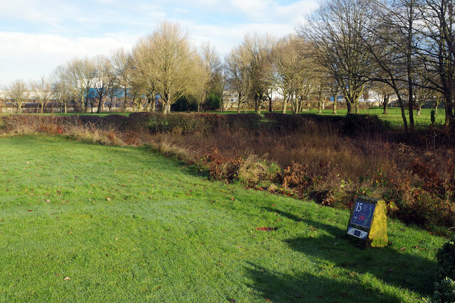
Image: © Stephen McKay Taken: 30 Dec 2024
Peel Moat is the site of a medieval moated house although only the overgrown and waterlogged moat itself has survived. It is now a scheduled ancient monument. The moated area is now used as part of Heaton Moor golf course for the red tee (ie women's tee) on the 15th hole.
Images are licensed for reuse under creativecommons.org/licenses/by-sa/2.0
Image Location
Latitude
53.428957
Longitude
-2.189741